How Phone Location Tracking Actually Works: GPS, WiFi, Cell, Bluetooth
A clear technical explanation of how your phone knows where it is and who can access that location. No marketing buzzwords, just how it works.
On this page 8 sections
- The four ways your phone knows where it is
- GPS: satellite-based outdoor positioning
- A-GPS: why your phone gets a location fast
- WiFi positioning: how phones locate without GPS
- Cell tower triangulation: the fallback method
- Bluetooth and UWB: short-range precision
- How Find My and Google Find My Device use all of this
- Who can access your phone’s location
Your phone knows where it is within a few meters, even inside a building, even with no cell signal, sometimes even when powered off. That is not one technology working hard. It is four separate positioning systems running in parallel, each filling in for the other when conditions change.
This guide explains exactly how each one works, what their accuracy limits are, and how Find My iPhone and Google Find My Device combine all of them into a single location estimate. The technical references come from the US Air Force GPS specification (NAVSTAR), the FCC Enhanced 911 (E911) Phase II rules on cell-tower accuracy, the IEEE 802.11 standards for Wi-Fi positioning, and Apple/Google published Find My network documentation.
The four ways your phone knows where it is
Modern smartphones use four positioning technologies. The operating system picks whichever one returns the best estimate fastest, then blends results when more than one is available.
| Technology | Accuracy range | Indoor / outdoor | Requires data | Typical use |
|---|---|---|---|---|
| GPS / GNSS | 2-5 m | Outdoor only | No | Driving, hiking, outdoor maps |
| WiFi positioning | 20-80 m | Indoor + dense urban | Cached database | Indoor maps, city walking |
| Cell tower triangulation | 500 m-5 km | Anywhere with signal | No | Coarse fallback, emergency calls |
| Bluetooth / UWB | 1 m-10 cm | Short range, both | No | AirTags, Find My, indoor pairing |
TL;DR: GPS dominates outdoors, WiFi takes over indoors, cell towers fill the gaps when nothing else works, and Bluetooth handles room-level precision for nearby devices.
GPS: satellite-based outdoor positioning
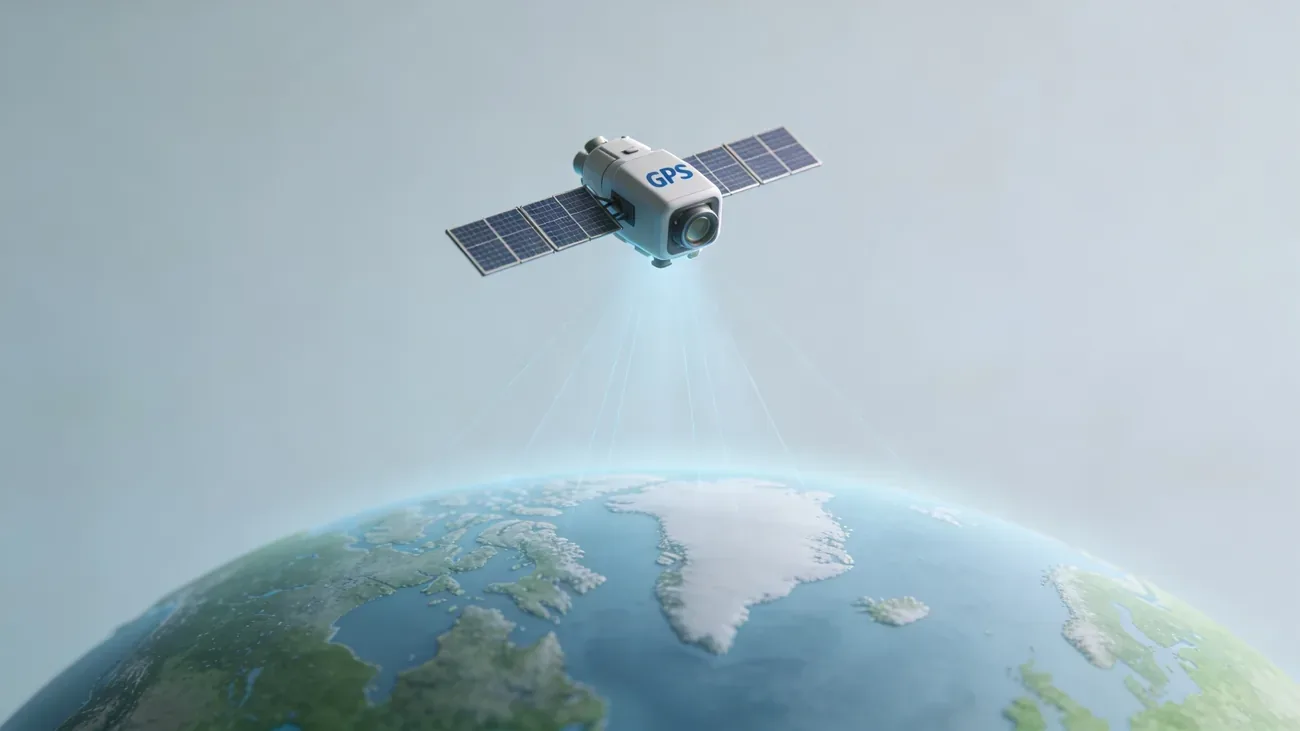
GPS, short for Global Positioning System, is the oldest and most familiar layer. Your phone listens for signals broadcast by satellites in medium Earth orbit, measures how long each signal took to arrive, and calculates its own position using a geometric process called trilateration. Three satellites give a 2D fix, four give 3D including altitude.
Most people say “GPS” but modern phones actually use four satellite constellations at once:
- GPS (United States), 31+ active satellites. Source: gps.gov
- GLONASS (Russia), 24 satellites
- Galileo (European Union), 28 satellites. Source: European GNSS Agency
- BeiDou (China), 35+ satellites
Tracking multiple constellations at the same time means the phone can usually see 15-20 satellites overhead, even when buildings or terrain block half the sky. Consumer GPS chips deliver around 5 m accuracy. Newer dual-frequency chips that receive both the L1 and L5 GPS signals push that to roughly 2 m. The iPhone 14 Pro and Pixel 7 were the first mainstream phones to ship dual-frequency receivers; later flagships now follow.
GPS fails indoors because the satellite signal is weak, around 50 watts broadcast from 20,000 km away, and concrete or steel walls block it. Underground parking, subways, and the middle of a large mall typically show no GPS lock at all. Even outdoors, deep urban canyons cause errors of 30 m or more because signals reflect off glass towers before reaching the phone, a problem called multipath. Dual-frequency receivers help here too: the L5 band penetrates better and is less affected by reflections, which is why turn-by-turn navigation in Manhattan or central Tokyo works far better on a Pixel 8 than on a five-year-old phone.
GPS itself is also receive-only. Your phone listens, the satellites do not know you exist, and there is no way for someone to track you through the GPS system itself. Tracking always happens at a layer above: an app reading your phone’s computed position, the OS storing it, or the network reporting it.
A-GPS: why your phone gets a location fast
A cold-start GPS fix, with no prior data, takes 30-60 seconds because the receiver has to download orbital data (the almanac and ephemeris) directly from the satellites at a slow 50 bits per second.
A-GPS, or Assisted GPS, solves this. The phone downloads the same orbital data over cellular or WiFi instead, in 1-5 seconds. The GPS chip already knows where each satellite should be, so the first fix arrives almost instantly. This is why opening Google Maps in a city feels immediate while opening it in a remote area without signal can take a minute.
A-GPS does require some form of data connection on first use, but once the almanac is cached, fixes stay fast for several hours offline.
WiFi positioning: how phones locate without GPS
When GPS is unavailable, WiFi positioning takes over. The technique is straightforward: every WiFi router has a unique hardware identifier called a BSSID, and Apple and Google maintain massive databases mapping each BSSID to the geographic coordinates where it has been observed.
Your phone scans for nearby WiFi networks, sends the list of visible BSSIDs to Apple or Google, and gets back an estimated location. No connection to those networks is required, only the scan.
Accuracy is typically 20 m indoors and as good as 10 m in dense urban areas where many access points overlap. The technique was pioneered by Skyhook Wireless in 2003 and is now run at planetary scale: every iPhone and Android phone with location services on passively contributes WiFi observations back to the database. That is how the maps stay current without any field crews driving around.
WiFi positioning is the reason your phone can pin you on the right floor of a shopping mall when GPS shows nothing. The trade-off is that the database is only as fresh as the last time someone passed through. If a coffee shop moves across town and brings its router, the BSSID will keep showing the old address until enough phones report the new one. This is the most common cause of “my phone thinks I am somewhere I am not” complaints.
Cell tower triangulation: the fallback method
Cell tower positioning is the coarsest of the four, but also the most reliable. As long as your phone has any cellular signal, the carrier knows which cell towers are within range, the signal strength to each one, and (with timing advance data) the round-trip time for signals to travel.
With three or more towers visible, the phone or the carrier can triangulate position:
- Dense urban: ±500 m, sometimes ±200 m with small cells and 5G
- Suburban: ±1-2 km
- Rural: ±2-5 km, occasionally worse with only one tower visible
Cell triangulation is what powers E911 emergency location in the United States and what carriers hand to law enforcement under a warrant. It is also what your phone uses for the very first rough fix while GPS is still searching for satellites.
Bluetooth and UWB: short-range precision
The fourth layer is short-range radio. Bluetooth Low Energy (BLE) and Ultra-Wideband (UWB) do not give you a global position. They tell you where something is relative to your phone, with much higher precision than the other systems.
Bluetooth Low Energy has been in phones since 2012. Range is 10-30 m, accuracy from signal strength alone is 1-5 m. AirTags, Tile, Galaxy SmartTags, and Find My Device beacons all use BLE.
Ultra-Wideband is newer and dramatically more precise. Apple’s U1 chip, introduced in iPhone 11 in 2019, measures the time-of-flight of pulses just nanoseconds wide and delivers location accuracy of around 10 cm within a 10 m range. UWB is what makes the directional arrow in the Find My app point precisely at a missing AirTag. It is also in iPhone 11 and later, recent Apple Watches, AirTags, the HomePod mini, and several Android flagships including the Pixel 6 Pro and Galaxy S21+.
Because these signals are short-range, they only matter when devices are nearby. But that is exactly the situation where GPS struggles most, so the precision matters. UWB also enables a feature GPS cannot: angle-of-arrival. The phone can tell not just how far an AirTag is, but the direction it is in, which is what powers Precision Finding’s animated arrow.
How Find My and Google Find My Device use all of this
Apple’s Find My and Google’s Find My Device are not single-technology products. They orchestrate every layer above into one location estimate.
When a missing iPhone is online:
- It reports its current GPS coordinates if outdoors
- It reports its WiFi-derived location if indoors
- It falls back to cell tower position if nothing else is available
- The location appears on iCloud.com or in the Find My app
The interesting case is when the phone is offline or powered off. This is where the Find My network comes in. Every Apple device participates in a global mesh: over 1 billion iPhones, iPads, Macs, and Apple Watches anonymously listen for BLE beacons broadcast by other Apple devices marked as missing. When a passing iPhone hears a beacon, it relays the rotating encrypted identifier and its own location to Apple. Only the original owner can decrypt the result.
On iPhone 11 and later, the U1 and BLE radios remain active for up to 24 hours after the phone is powered off, drawing from a small reserve battery, which is why Find My can locate even a “dead” iPhone for a full day.
Google launched its Find My Device network in April 2024 with the same architecture: Android 9 and newer devices form a crowdsourced BLE relay across more than 3 billion devices. The protocol uses end-to-end encryption so Google cannot see device locations either.
If you want a deeper walkthrough of either system, see the Find My iPhone complete guide and the Google Find My Device complete guide.
Who can access your phone’s location
Once your phone has computed a location, several entities can see it.
- The operating system (Apple, Google) gets a copy whenever you use a system service like Find My, Maps, or Significant Locations. Apple processes most of this on-device with rotating identifiers; Google retains more in its account-level Location History when enabled.
- Apps you grant permission see whatever level of accuracy you allowed. iOS distinguishes between “precise” (raw GPS) and “approximate” (rounded to ~5 km). Android offers the same since Android 12.
- Advertisers receive location through SDKs embedded in apps, often the same apps you trusted. Aggregated location data is sold by data brokers; the Federal Trade Commission has fined several brokers in recent years for this practice.
- Your carrier keeps cell tower connection logs as part of normal network operation. In the US these are retained for months to years and can be requested with a warrant. In the EU, retention is governed by national implementations of the ePrivacy Directive and GDPR, and access generally requires judicial authorization.
- Law enforcement typically reaches location data through a search warrant served on Apple, Google, or the carrier. Geofence warrants, which request all devices within a polygon during a time window, have grown common in the US since 2018, though Google ended its support for them in late 2024.
If you suspect someone is tracking your phone without permission, the symptoms and detection steps are covered in our guide to detecting phone tracking. The same techniques used to find a lost phone can be misused, which is why both Apple and Google now flag unknown AirTags and trackers travelling with you.
You can also reverse the question: if you want to know where your own phone is right now, use the free phone locator tool on the home page rather than installing third-party software.
The four positioning layers are independent. Disabling one rarely stops tracking; disabling all four (airplane mode, WiFi off, Bluetooth off) is the only reliable way to go fully invisible, and even then a powered-on iPhone 11 or later will continue broadcasting a low-power BLE Find My beacon. Knowing which layer is active in any given moment is the first step in understanding what your phone is sharing and with whom.
Questions & answers
Things readers ask about this
5 questions · updated Apr 2026